55 OCEAN LEDGE DRIVE
Owner Information
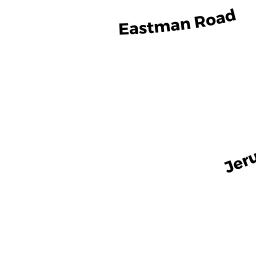
792 JERUSALEM REALTY TR
55 OCEAN LEDGE DR
COHASSET, MA 02025


Property Details
55 OCEAN LEDGE DRIVE is classified as a Single Family Residential (Custom col).
The primary structure on this property was built in 2015. There are 5,858ft2 of built area within this property. There is 5,858ft2 of residential/living space within this property.
55 OCEAN LEDGE DRIVE is valued at $2,286,800. The land is valued at $673,100 and the structures are valued at $1,613,700.
The most recent deed for 55 OCEAN LEDGE DRIVE is recorded at the local registrar in Book 32973, Page 479. 55 OCEAN LEDGE DRIVE was last sold on Wednesday, March 18, 2015 for $99.
Assessment data from fiscal year 2022.
Flood Data
According to the FEMA National Flood Hazard Layer, this property does not appear to be in a flood zone. It may also be in an area not yet reviewed. Nonetheless, confirm this information prior to taking any action.
To view the flood hazards around this property, create a FEMA "Firmette" Map of the area around 55 OCEAN LEDGE DRIVE.
Broadband Internet Providers
| Provider | Type | Bandwidth (mbps) | |
|---|---|---|---|
| Verizon New England Inc. | DSL | 5 | 0 |
| Comcast | Cable | 1000 | 35 |
| Verizon New England Inc. | Fiber | 940 | 880 |
| Viasat Inc | Satellite | 100 | 3 |
| VSAT Systems, LLC. | Satellite | 2 | 1 |
| HughesNet | Satellite | 25 | 3 |
| GCI Communication Corp. | Satellite | 0 | 0 |
Broadband service provider data from December 2020.
Adjacent Properties
- 790 JERUSALEM RD
Single Family Residential owned by WHISTLING SWAN REALTY TRUST - 754 JERUSALEM RD
Cemeteries (Charitable Org.) owned by COHASSET TOWN OF - 790 A JERUSALEM RD
Three-Family Residential owned by STRAITS POND REALTY, INC - 45 OCEAN LEDGE DRIVE
Single Family Residential owned by 792 JERUSALEM REALTY TR - 728 JERUSALEM RD
Single Family Residential owned by CIFRINO STEVEN - 724 JERUSALEM RD
Single Family Residential owned by ROONEY WILLIAM A - 142 LAMBERTS LN
Single Family Residential owned by SPEERS STEPHEN A. - 78 LAMBERTS LN
Single Family Residential owned by CAREY CHRISTOPHER - 140 LAMBERTS LN
Single Family Residential owned by DEVIN WILLIAM F JR & RENATE S - 0 LAMBERTS LN
Vacant, Tax Title/Treasurer owned by COHASSET TOWN OF